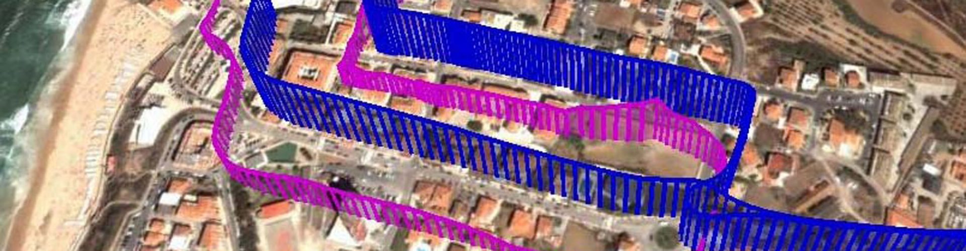
 The Visual Awareness System for Emergency Response (VASER) uses visualisation technologies to support the tasks performed in disaster mission control centres. In particular, this system is helpful when it comes to tasks that involve supplying important information to teams in the field regarding the locations of surrounding teams, dangers, victims, and means of support.
The architecture of VASER facilitates the exchange of location-sensitive information to aid the management of disaster situations. The architecture relies on the integration of four elements: positioning/navigation (e.g. Galileo), geospatial data (e.g. Copernicus), communication (e.g. 5G and SatCom) and multiple forms of media (e.g. audio).
“The winner of the Space for Being Safe & Healthy Challenge is the first Wearable Augmented Reality (AR) solution aimed at safety critical field operations within the civil protection, security and emergency management sectors. The solution has been already developed into a working prototype that is leveraging Galileo’s differentiators and Copernicus imagery. It is also innovative, scalable and adaptable to different market sectorial needs.”
Dafni Dimoudi, Market Development Innovation Officer, European Union Agency for the Space Programme (EUSPA)


Virtual Angle BV
Pedro Branco, Luísa Trino, Fernando Branco
vaser@virtualangle.com